Drainage and monitoring
Monitoring and drainage consists of:
• Surface drainage services
• Deep drainage services
Within which are:
• Montoperative Department
• Well-water management and maintenance department
• Project planning department
The Montoperative Department through its specialized groups performs the following tasks:
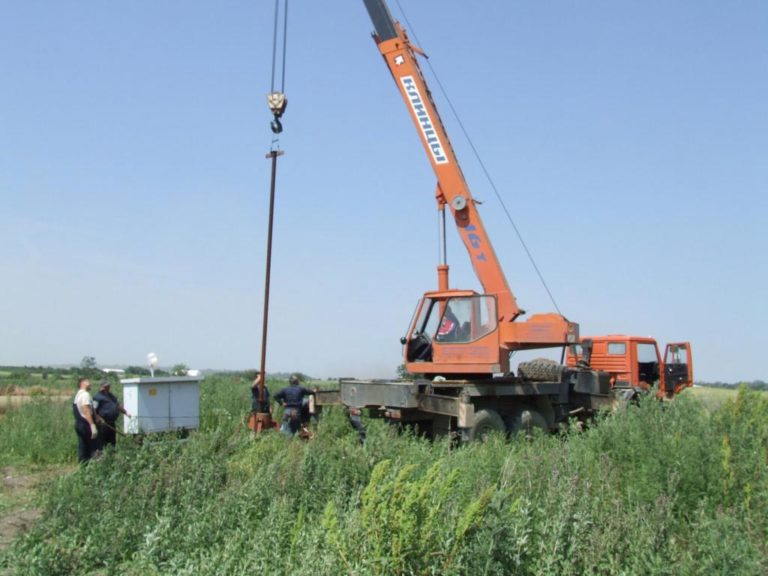
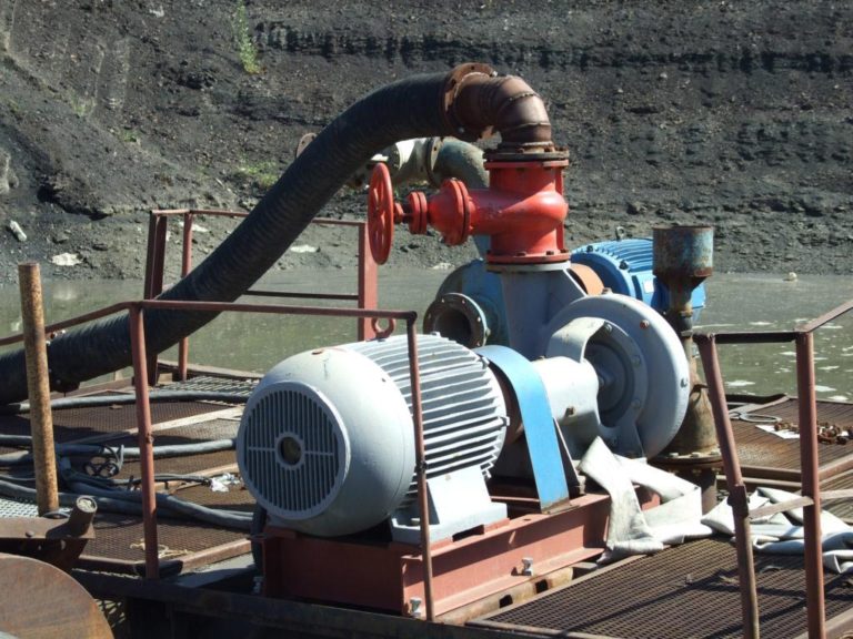
• Submerging and extraction of deep pumps from wells;
• Drainage of wells and pyrometer using the “aer-lift” method, as well as rehabilitation of the same;
• Testing wells with equipment for continuous monitoring of groundwater levels and wells capacity;
• Monitoring the level of groundwater, capacity of wells, groundwater hemisphere, amount of precipitation …;
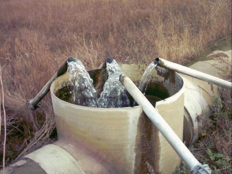
• Installation, dismantling and rehabilitation of main drainage pipelines, by which the groundwater, exhausted from the well, is transported to the final recipients (river Mlava, Dunavac).
From the moment when wells are released into exploitation, the monitoring of their work (24h) becomes the responsibility of the well-water management and maintenance department.
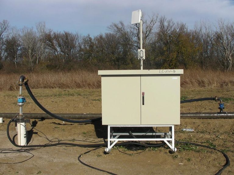
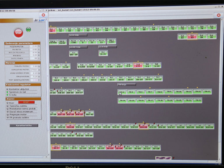
If the wells are equipped with software for remote control and monitoring system, specialized teams that own licenses to work with these software perform the management and control of well operation.
If the wells are not equipped with software for remote control and monitoring system, the management of the well system is carried out in a classical manner, by adjusting the capacity of wells through mechanical water meters depending on the required or projected groundwater level.
Within this department, constant control of the correctness of pumps, pressure and main drainage pipelines is carried out, as well as their rehabilitation.
All the information obtained from the terrain from the montoperative department, the management and maintenance department of the well system, as well as the geo-testing service are forwarded, mainly through various software, to the mont project design department.
Within the framework of the mont project design department, the processing and systematization of the received data is performed, which serve as substrates for:
• production of various types of geological and hydrogeological maps;
• the completion of the geological and hydrodynamic model of the PK Drmno, but also for the development of new geological and hydrodynamic models for bearings for which there is a need.
Based on hydrogeological backgrounds, and using software for the development of geological and hydrodynamic models, the following are performed:
• analysis and forecast of wells operation;
• Designing wells for drainage and water supply;
• preparation of various types of reports;
• elaboration of the groundwater reserves;
• Preparation of the study on sanitary protection zones;
• production of various types of studies, etc.